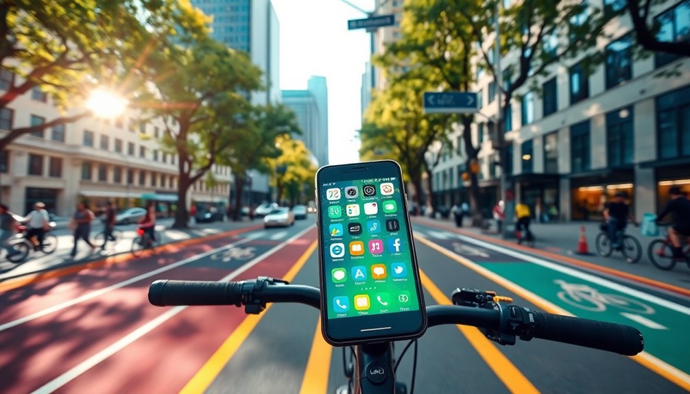

For navigating urban cycling routes, you can't go wrong with apps like Google Maps for safe paths, Strava for connecting with cyclists, and Komoot for curated rides. Bikemap offers user-generated routes and real-time updates, while Ride With GPS provides customizable turn-by-turn directions. For quieter routes, try Cycle.Travel, and for tracking your rides, MapMyRide excels. Each app has unique features tailored to enhance your cycling experience, so stick around to discover the best fit for you!
Key Takeaways
- Google Maps provides bike lane visibility and real-time updates, ensuring safer navigation through urban environments.
- Komoot offers curated routes based on personal preferences and fitness levels, ideal for city cyclists seeking tailored experiences.
- Bikemap features millions of user-generated routes and real-time road condition updates, enhancing route reliability and community engagement.
- Ride With GPS allows customizable turn-by-turn directions and offline maps for urban navigation, catering to individual route preferences.
- Strava encourages social cycling by tracking rides and achievements, making it easier to connect with fellow cyclists in the city.
Strava: The Social Cycling Companion
Strava stands out as the ultimate social cycling companion, connecting you with a vibrant community of cyclists. You can track your rides, share your achievements, and follow friends, making every pedal more enjoyable.
The app divides your rides into segments, allowing you to compete and compare your performance against others. Plus, with features like heatmaps and route planning, you can discover popular paths and explore new areas.
Strava's social interactions, like giving kudos and sharing photos, foster a sense of community that keeps you motivated. Whether you're a seasoned rider or just starting, Strava's performance metrics and competitive spirit make every ride an opportunity for connection and self-improvement.
Embrace the journey with Strava!
Google Maps: Reliable Urban Navigation

When navigating urban landscapes, Google Maps proves to be an invaluable tool for cyclists seeking safe and efficient routes.
With its bike lane display and cycling layer, you can easily find multi-use paths and bike-friendly roads. Activate the bike mode for turn-by-turn directions tailored to cyclists, prioritizing routes with lower traffic volumes.
Easily discover multi-use paths and bike-friendly roads with Google Maps' bike lane display and tailored cycling directions.
You can customize your route based on available bike lanes and even check elevation information to prepare for challenging terrain. Plus, real-time updates ensure you have the latest bike lane information.
Don't forget to verify route safety using Street View. Google Maps combines community contributions and machine learning to optimize your cycling experience, making it a reliable choice for urban navigation.
Komoot: Curated Routes for City Cyclists

How can you make the most of your urban cycling adventures? Komoot's curated routes ensure you find the best paths tailored to your riding style and preferences.
You can explore highlights—user-recommended points of interest—integrating them into your route for a richer experience. With offline navigation, you won't have to worry about losing your way, even in areas with poor connectivity.
Plus, you can customize your route based on fitness level, distance, and elevation. Komoot offers turn-by-turn directions, making navigation a breeze.
Its community-driven content helps you discover quieter, safer routes, enhancing your ride. Cleaner air while cycling can also contribute to a healthier experience, promoting better respiratory health. Available across multiple platforms, Komoot keeps you connected and informed, turning your urban cycling into an enjoyable adventure.
Bikemap: User-Generated Routes and Real-Time Updates
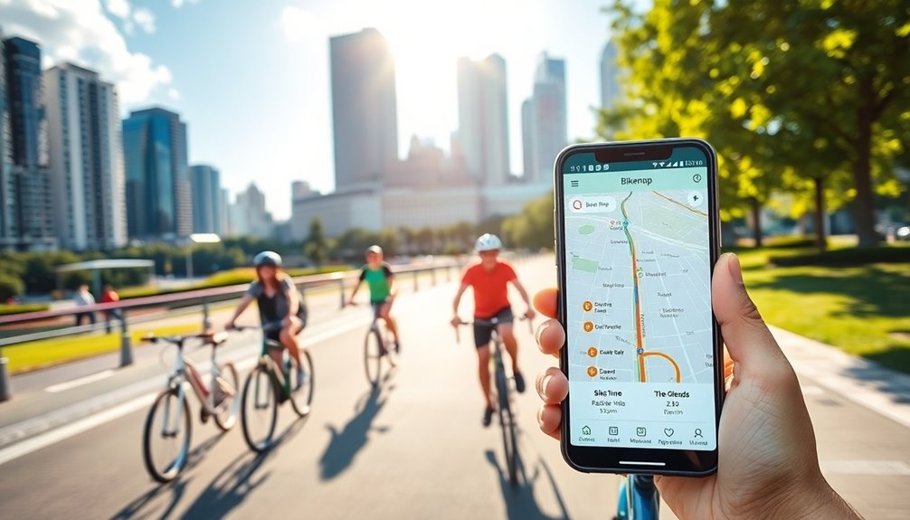
If you're looking for a way to navigate urban landscapes with ease, Bikemap offers an impressive array of user-generated routes and real-time updates.
You can access millions of routes plotted by fellow cyclists worldwide, ensuring you find the best paths for your journey. With real-time annotations, you'll stay informed about road conditions and potential obstacles.
The app also highlights points of interest, like shops and e-bike charging stations, enhancing your ride. Plus, you can easily share your own routes and experiences with the community.
For added convenience, Bikemap allows offline map downloads, making it a reliable companion whether you're exploring new areas or sticking to familiar routes. Additionally, utilizing features like high refresh rates can enhance your overall navigation experience by providing smoother map transitions and real-time updates.
Enjoy seamless navigation and stay connected!
Ride With GPS: Customizable Turn-By-Turn Directions

For those seeking a more tailored navigation experience while cycling, Ride With GPS stands out with its customizable turn-by-turn directions.
You can easily plan and modify your routes on the go using the mobile route planner, ensuring your ride aligns with your preferences for terrain and road type. The app provides voice navigation to guide you seamlessly through your chosen path.
Plus, it integrates with devices like Garmin and Wahoo for easy route syncing. If you find yourself in an area with poor cellular service, offline maps ensure you won't lose your way.
Integrate seamlessly with Garmin and Wahoo for hassle-free route syncing, and rely on offline maps to navigate even without cellular service.
With additional features like QuickNav and customizable metrics, Ride With GPS makes your cycling experience smoother and more enjoyable.
Cycle.Travel: Scenic and Quieter Route Options
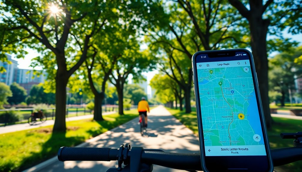
While urban cycling can often mean navigating busy streets, Cycle.Travel offers a refreshing alternative by focusing on quieter and more scenic routes.
This free app provides turn-by-turn directions and offline maps, making it perfect for those who want a peaceful ride without the hassle of premium features. You can customize your route based on different types, such as 'Gravel' or 'Night-time', ensuring a tailored experience.
Cycle.Travel also utilizes real-world traffic data to optimize your journey, enhancing safety and enjoyment. Plus, you can search for accommodations along the way, making it a great choice for longer trips.
With cross-platform compatibility, you can plan your route on any device, ensuring you're always prepared for your next adventure.
MapMyRide: Planning and Tracking Your Urban Rides

When you want to take your urban cycling to the next level, MapMyRide offers a comprehensive solution for planning and tracking your rides.
With GPS tracking, you can accurately record your distance, speed, and elevation gained. Create custom routes on the website, and if you opt for a premium subscription, take advantage of Route Genius to design circular routes.
Share your rides with friends and join challenges to keep motivated. The app tracks your nutrition, ensuring you fuel properly for your adventures.
It's compatible with iOS, Android, and various wearables, allowing for seamless data integration. Plus, premium users can utilize live tracking for safety, making MapMyRide an excellent choice for urban cyclists.
Trailforks: Offline Maps and Live Tracking for Cyclists

Urban cycling can take you on a variety of trails, and having the right tools makes all the difference.
Trailforks stands out with its massive database of over 700,000 routes, ensuring you'll find the perfect path. You can download offline maps, so you won't get lost even without internet access.
Trailforks offers over 700,000 routes and offline maps, ensuring you never lose your way while exploring urban trails.
The GPS tracking feature helps you record your rides and analyze elevation profiles. Plus, with its flexible route planner, you can create custom routes and receive detailed turn-by-turn directions.
Community-driven trail reporting keeps you updated on trail conditions, while the app's integration with Garmin devices enhances your tracking experience.
With Trailforks, you're equipped to explore urban trails confidently and efficiently, especially when considering proper diet to maintain your health during long rides.
Frequently Asked Questions
Are These Apps Available on Both Ios and Android Devices?
Yes, these apps are available on both iOS and Android devices, so you can easily access them regardless of your platform.
This versatility ensures you can plan your rides and navigate your routes seamlessly.
Whether you're using Bikemap, Komoot, Google Maps, or Citymapper, you'll find them all compatible with your smartphone.
Having this flexibility makes it convenient for you to stay connected while cycling in urban environments.
Do Any Apps Offer Features for Bike Maintenance Tracking?
Did you know that 40% of cyclists forget to perform regular maintenance on their bikes?
Unfortunately, most navigation apps don't offer bike maintenance tracking features. While they excel in route planning and navigation, you won't find built-in tools for tracking maintenance schedules.
However, some apps might integrate with third-party tools in the future, so keep an eye out for potential updates that could enhance your cycling experience!
Can I Access Offline Maps Without a Premium Subscription?
Yes, you can access offline maps without a premium subscription!
Apps like Maps.Me and OsmAnd offer free offline maps, allowing you to navigate without internet access.
While OsmAnd's free version has some limitations, it still provides valuable features.
Maps.Me includes cycle routes and turn-by-turn directions at no cost.
This way, you can save data and ensure reliable navigation while cycling, even in areas with poor connectivity.
How Do I Report Road Hazards Using These Apps?
Did you know that nearly 50% of cyclists have encountered road hazards during their rides?
To report hazards using apps like Bikemap, simply find the option to alert users about issues while navigating your route.
For Trailforks, you can submit condition reports as well.
Google Maps allows you to report incidents, but this feature is mostly for drivers.
Unfortunately, apps like Komoot and Cycle.Travel don't have specific hazard reporting features.
Are There Any Age Restrictions for Using These Cycling Apps?
Most cycling apps don't have strict age restrictions, but some do require users to be at least 13 years old to create an account, like Strava.
Komoot doesn't specify an age limit but asks for parental consent for minors.
MapMyRide and Ride with GPS also don't mention age restrictions.
If you're under 18, it's a good idea to check each app's terms or get permission from your parents.
Conclusion
As you hit the streets on your bike, remember that urban cycling isn't just about getting from point A to B; it's about the journey. Did you know that cities with dedicated bike lanes see a 50% increase in cycling rates? By using these apps, you're not only enhancing your ride but also contributing to a healthier, more bike-friendly community. So grab your phone, explore new routes, and enjoy the freedom that comes with urban cycling!